Emlid
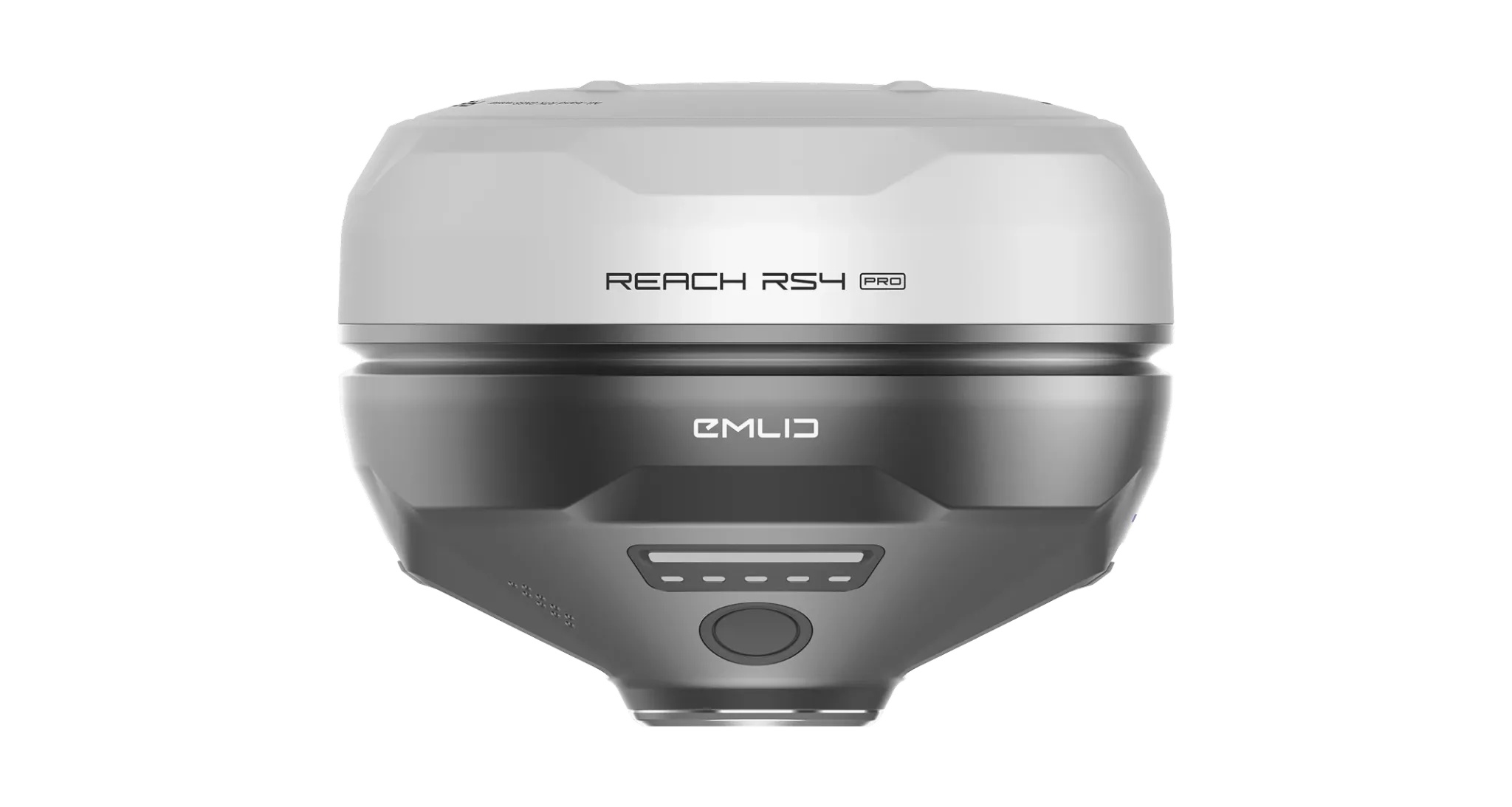
RTK GNSS Receiver - Reach RS4
The Emlid Reach RS4 is a versatile all-band RTK GNSS receiver designed for challenging fieldwork. It delivers centimetre-level accuracy even under canopy or in urban areas, and fast tilt compensation lets you measure without levelling the pole. It works as a base or a rover over LoRa, UHF or NTRIP, and comes with the Emlid Flow mobile and cloud app to keep projects and teams in sync from field to office.
- 7 mm + 1 ppm RTK precision with a fix in about 5 seconds.
- 672 channels tracking L1, L2, L5 and L6, including NavIC.
- Next-generation tilt compensation for measuring without levelling the pole.
- Built-in 2 W dual-band radio (LoRa and UHF) and LTE modem.
- 16 hours as an RTK rover with tilt, 22 hours of logging, IP68 rated.
| Dimensions | 128.6 x 128.6 x 99.3 mm |
| Weight | 927 g |
| Operating Temperature | -40 to +65 °C |
| Ingress Protection | IP68 |
| Body | Magnesium alloy |
| Mount | 5/8″ UNC thread, Emlid quick release compatible |
| Bluetooth | Bluetooth 5.1 (BR/EDR + LE) |
| Battery | Li-Ion 5000 mAh, 7.2 V, 36 Wh |
- All-Band GNSS: Tracks all constellations and frequencies including L5 and L6, which are more resistant to multipath and interference. 672 channels, 40+ satellites at a time.
- Next-Gen Tilt Compensation: Activates with a few moves and stays stable through the survey; with no recalibration and no angle limit.
- Base and Rover Works with NTRIP (VRS or single-baseline CORS, RTCM3), UHF 450 MHz and LoRa, all transmit and receive.
- Third-Party UHF Compatibility: UHF radio works with third-party receivers that support TRIMTALK 450S.
- Integration: As a base it can send corrections to drones, tractors or GPR systems. As a rover it streams position over cable or Bluetooth.
- Rugged Build: Magnesium alloy body, IP68 rating, operates from -40 to +65 °C.
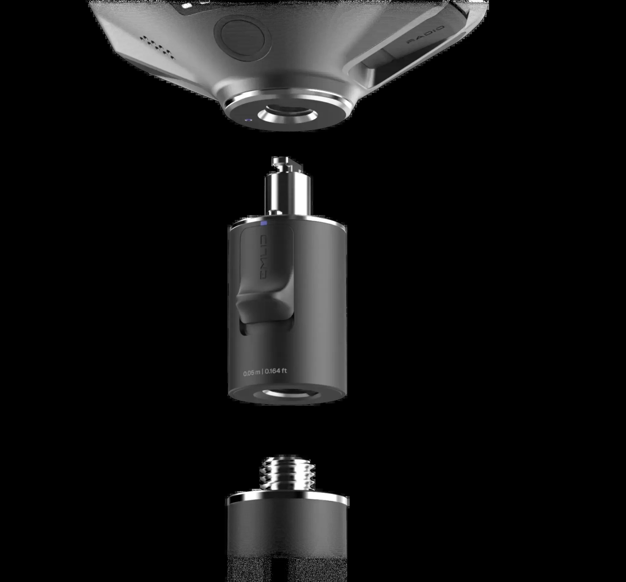
- Quick Release Mount: Removes backlash and wobble on the survey pole.
- Emlid Flow App: iOS and Android field app with cloud sync for topographic surveys, stakeout, line and road surveys, cut and fill and as-built checks.
- Topographic Surveys
- Construction Layout
- Boundary Marking
- As-Built Checks
- Utilities Mapping
- Road Alignment
- Earthwork Measurements
- Drone Mapping
Wish to know more about this product?
Feel free to contact our specialist for expert guidance and personalized recommendations.